This is the third of these posts, and the second for which I selected a hike from my Ordnance Survey book: Peak District – Outstanding Circular Walks. I was going to be slightly OCD about the routes in this book and do them in order, but I then decided that would be silly and that I should do them in whatever order suited me. In this case, I skipped the second walk in the book because it was a location I’m quite familiar with, and this one is somewhere I’ve never visited before.
The route of this walk is in the Derbyshire countryside to the north of the village of Elton. It’s a short route of just over three miles, with an elevation of 750 feet. While the guide gives an approximate time of 2 hours to complete the walk, because I’m faffing around taking photographs, it took me somewhat longer.
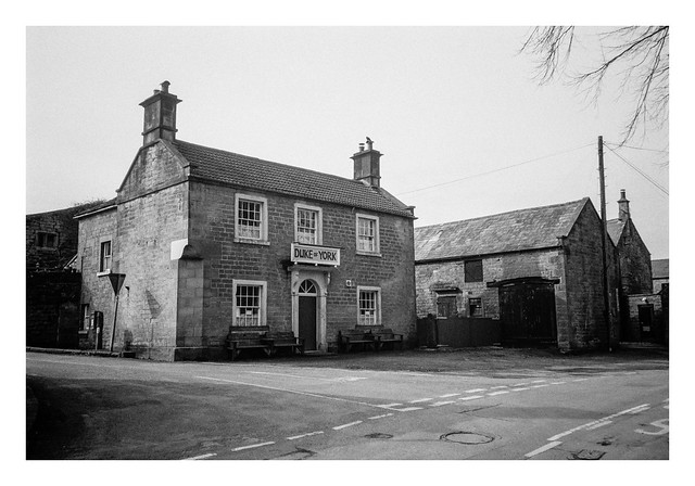
Although Elton isn’t too far, much of the drive there is on smaller roads, so it took about an hour to get there and park up. The weather was a little overcast when I arrived, but with the promise of some brighter spells later. The starting point for the hike is outside the Duke of York pub, across from the village church.
Not long after this, there was a slightly confusing branch of the path in a field that first had me wandering around some farm machinery before wandering off down the wrong fork. It was a little while later, after descending a hill and then crossing a large pool of muddy ground near the entrance to a field that I realised my error. Luckily, re-checking my map, I could see that the narrow road I was now on would curve around and intersect the original footpath, so I stayed on this course. This wasn’t a bad thing as, part way up a hill at a bend in the road, I came across a series of water troughs, fed by a spring.

These troughs are called the Burycliffe Troughs and the spring that fills them has never been known to run dry. Until 1940, these were Elton’s main source of drinking water, and men, women, and children would walk here in all weathers to collect water in buckets and then carry them back up the hill to the village. One enterprising farmer would fill urns of water and transport them in a cart, selling them for a penny a bucketful.
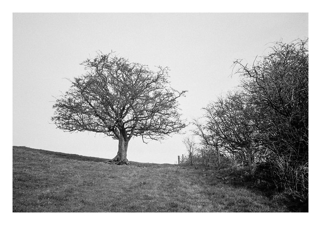
A little further up the road I rejoined my original route and broke off into a field to the left. The path led through another field where this tree stood near the ridge of the hill.
As the path descended, it reached another track, this one leading to a Christian sanctuary / retreat. On the other side of the track a lone piece of farm machinery stood on the grass.

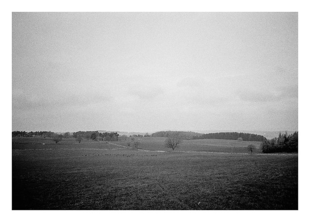
While crossing the next field I spotted a herd of animals off to my left. I soon realised that these were deer. I took a photograph but it should be noted that the Olympus XA3 is not a useful wildlife camera. You can see the deer in this picture though – they are the black pixels about a quarter of the way up the frame. 😀
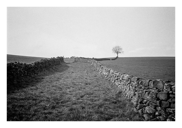
One thing you find a lot of in the Peak District (and, to be fair, a lot of the British countryside) are drystone walls. This arrangement of walls with a lone tree looked like a decent photograph to take.
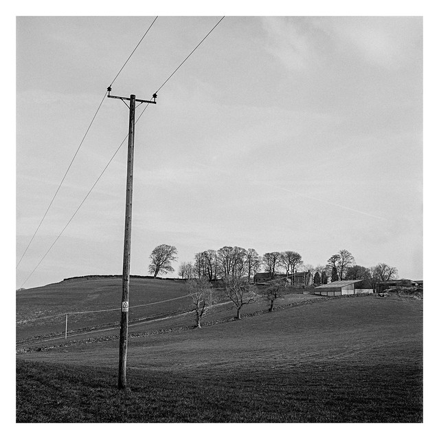
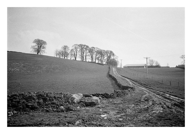
In the opposite direction, a track led to a farm sitting atop the ridge of a hill.
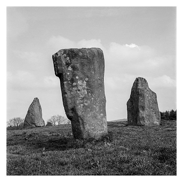
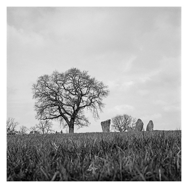
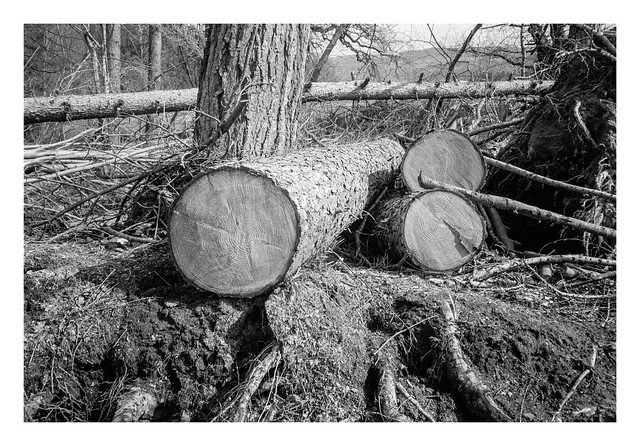
A little further along the route, the path I needed to follow crossed a small stream before curving up and to the east through some woodland. There were signs of forestry activity here, and it marked a good place to park myself on a fallen log and take a drink of water. It also marks the place where I’ll leave the first part of this post. In part two there will be stone circles, rock outcrops, and a hermitage!

Olympus XA3 & Ilford HP5+ (@800asa). Ilfotec DD-X 1+4 10mins @ 20°
Taken on 26 March 2024