From the footbridge across the railway line, the space outside the scrapyard can look a little like a lunar landscape, or a cratered battlefield. It’s very much an industrial space with a scattering of industrial skips and a gritty, oily surface with a scent of oil and chemicals. Beyond it is a second railway bridge that leads to the northern end of Rother Valley Country Park, and there is a footpath that skirts the edge of the scrapyard and this open area (or, as the figure in the first picture is doing, you can just cut the corner).
It’s not a pretty place, but there are photographs to be had. The skips catch the light and, when the angle is right, can be contrasty subjects with interesting shadows.
The puddles, when it has been raining, also offer opportunities to find reflections of the objects present and the surrounding structures.
I took the following two pictures while walking to Woodhouse Washlands where I shot the photos that I’ve shared here during the past week.
The first bridge crosses the railway line that comes from Sheffield, via Darnall and Woodhouse, towards Chesterfield and onward destinations. A scrapyard sits just at the other side of the bridge, along with footpaths to Rotherham Road, Rother Valley Country Park, plus some other trails through the floodplain.
Just to the right of the the bridge is a somewhat pointless bike gate. That aint stopping anyone!
The second is of the railway bridge which carries the stretch of track running between Rotherham and Chersterfield across the River Rother (from which Rotherham takes its name, translating from the Old English Homestead on the Rother). This line joins the line crossed by the footbridge pictured above a little further south. It’s not obvious from the picture, but the river bank in the foreground was quite slick and muddy!
From here I followed the course of the river downstream through the section of floodplain that lies south of the Mosborough Bypass (which marks the southern edge of Woodhouse Washlands). Before the bypass, I had to cross Ochre Dyke and Rotherham Road. The dyke is spanned by a small bridge. Or it normally is…
On this day I found that the bridge had been removed and the foundations for a replacement were now in evidence. The water looked jumpable, but I thought it might be prudent to walk around. Unfortunately, following a lot of rainfall, the route was blocked by swampy, submerged grass, and I would have had to make a significant backtrack to get around. So I decided to risk the jump after all.
Despite not looking too bad, it was quite a hard landing on the far bank, resulting in a muddy knee, a hand prickled on a bramble, and a pain in the joint just above my knee that has flared up on occasion ever since. I’m no longer young, it seems…
I went to the cinema a few weeks back (to see Dune Part II, I think it was). In one of the car-parks at the shopping mall where the cinema resides, was a circus. The sky was heavy with dark cloud, but the sun was shining through and illuminating things nicely. I’m glad I had the XA3 in my pocket.
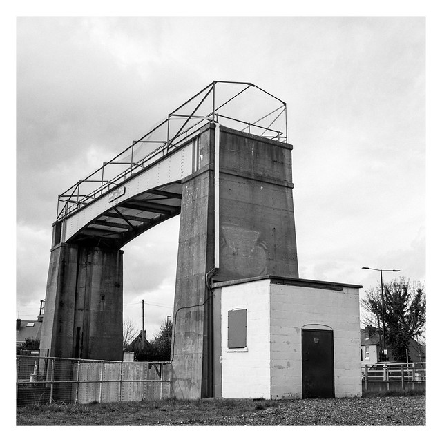
The Woodhouse Mill regulator stands at the northern end of Woodhouse Washlands beside the B6200 Retford Road. It has been there for as long as I remember – unsurprising as it was commissioned a decade before I was born!
Although I know it has been used on many occasions, causing the expected flooding of the washlands, I’ve never actually seen it in use.
There are a number of these raised manhole covers to be found on Woodhouse Washlands. They stand, like strange tumuli atop their mounds of grassy earth.
I expect they are raised to prevent them from flooding if the washland is submerged when the river is high as they probable provide access to sewage pipes – there is a sewage treatment works at the northern edge of the wetlands, just across the B6200 road that marks the boundary.
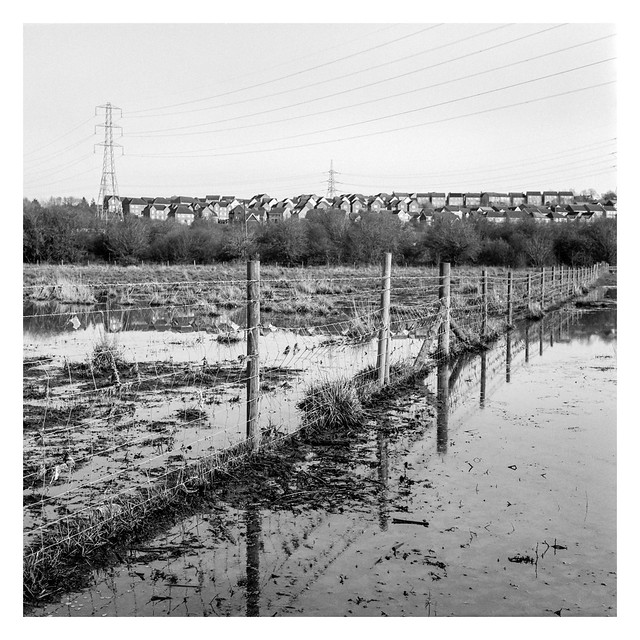
One of the interesting features about Woodhouse Washlands is how it can change noticeable when flooded. As it’s a floodplain (with a flood barrier at the northern end to boot), this is to be expected and, to be honest, it becomes somewhat challenging to navigate without getting wet and muddy in these circumstances. It does allow for different photographs to be found though. What were previously just grassy fields, now become ponds.
As the Hot Chip song goes, “Over and over and over and over. Like a monkey with a miniature cymbal. The joy of repetition really is in you.“, so it seems that I photograph the same things over and over too. The flyover at the southern end of Woodhouse Washlands is one such subject. It is an interesting subject, I think, and I don’t think I’ve exhausted it yet, but I wonder if there is a limit on how many times I can photograph it before the repetition becomes too much?
What, at first glance, looks like a muddy obstacle when out for a walk, might also be seen as two figures shaking hands. On what, who knows? Giving me wet feet probably.
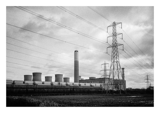
After yesterday’s post about West Burton power station, here’s one about Cottam power station, which also stands beside the Trent a few miles upstream to the south.
Cottam power station went into operation in 1968, generation power for fifty years (20 years longer that it’s original life expectancy). It ceased generation in 2019 and demolition began in 202/ The chimney and cooling towers are due to be demolished by 2025.
Some of the buildings in these pictures were demolished just a few days after I photographed them on the 22 February 2024. I expect the views of, and from, the village of Cottam will look considerably different when the demolition work is complete.