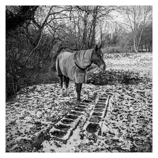
I was concentrating so much on getting the horse – which was moving around slowly – in sharp focus that I didn’t notice it was sticking it’s tongue out when I fired the shutter…
Standing in the snow Making rude gestures to men Making photographs
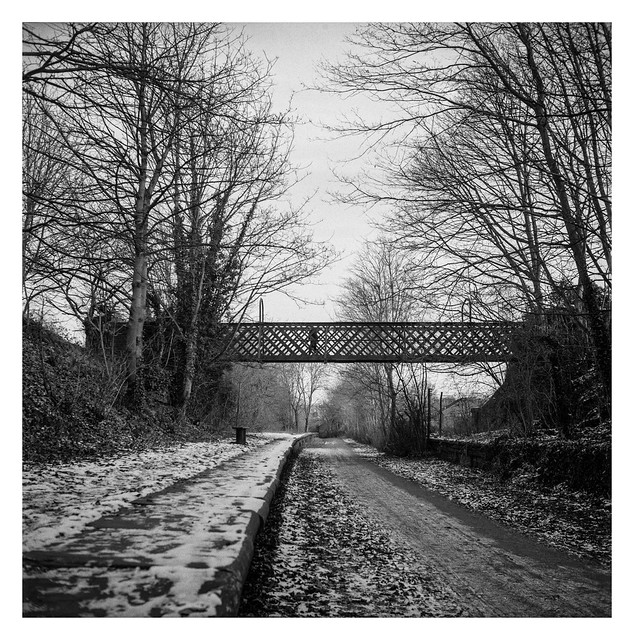
The two bridges shown here once spanned both railway and canal. They are both almost identical, functional, no-frills affairs. The railway lines have been lifted for almost forty years now and I’m unsure how long it has been since this stretch of the canal contained water. The bridges now span a path used by foot traffic (plus bicycles and – maybe – horses). The canal remains empty of water and canal-boats for the forseeable future – although many other stretches of the Chesterfield canal have been restored, so hopefully it may see use again in years to come.
Barges and bargees Once floated by while nearby Locomotives passed
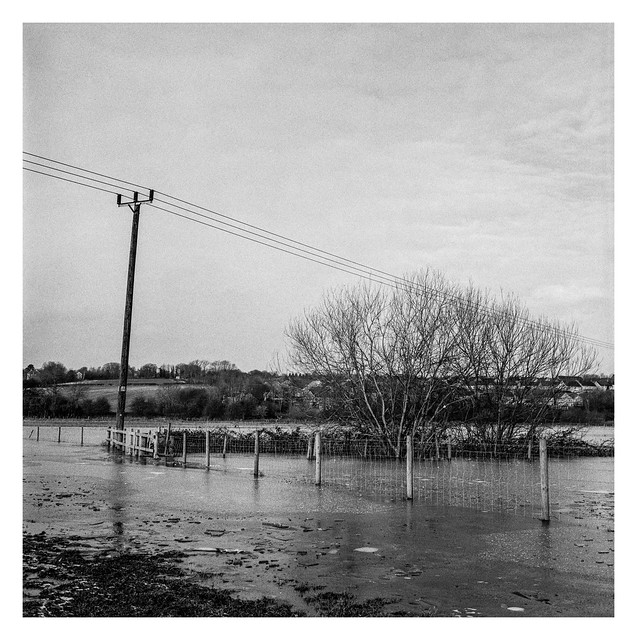
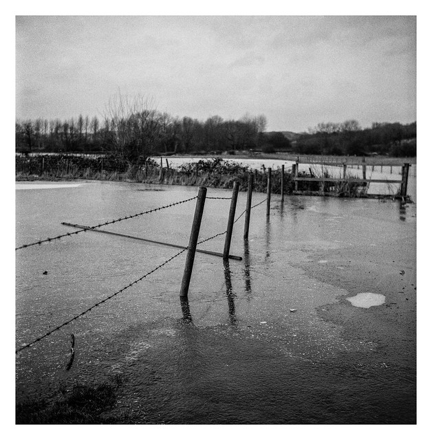
The flooded field in the two images presented here today is where a footpath runs. It leads down from the Trans Pennine Trail towards Eckington and passes close to a copse of trees that I’ve photographed on a number of occasions (see here and here for instance). On the day I made these photos it was unpassable however. It probably wasn’t too deep, but likely deep enough to overflow my walking boots with frigid liquid, and I doubt the ice was thick enough to support me upon its surface. I knew I should have started that diet!
A thin crust of ice The footpath submerged below Waiting for the sun
This track runs parallel to the Trans Pennine Way for a while and the section depicted is open for public access. The remainder of the track leads up to the farm itself and has no further right of way. I know this because I once walked all the way to the end without realising. And then had to walk all the way back again.
I really like how this picture turned out. It looked nice in the viewfinder with all the leading lines, and the end result doesn’t disappoint me. Probably my favourite shot of the year so far.
Country road power Leading the eye down the way To places unseen
Killamarsh is a village in North-East Derbyshire with a population of around 10,000 so it seems hard to believe that, at one point, the place had three seperate railway stations serving it. To the east was Upperthorpe & Killamarsh station, the the west was Killamarsh West station, and between them the appropriately named Killamarsh central.
Only one active railway line remains – the line that served Killamarsh West, although there are no longer any stops and the station on that line has been long removed and, if there are any remains, they are out of bounds to the public. I’m uncertain if anything remains of the eastern station.
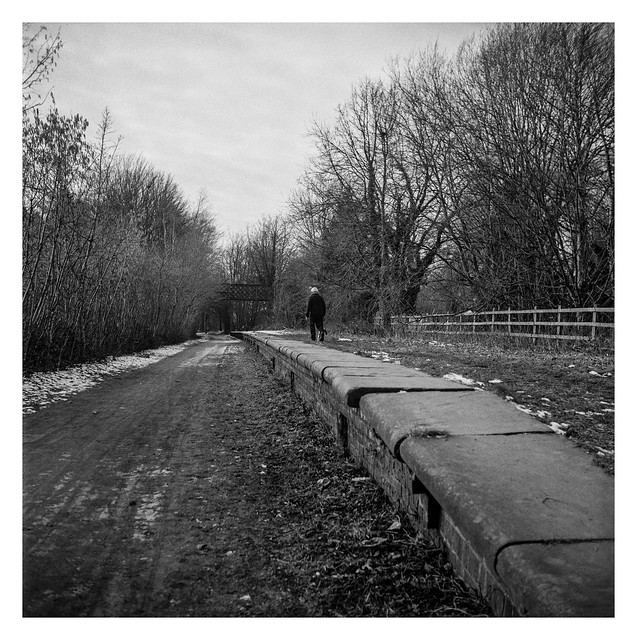
As for Killamarsh Central, there ramain the northbound platform and the pedestrian footbridge, both of wich can be seen in the two photos shared today. The first looking south towards Renishaw and Chesterfield, the second north towards Beighton.
The station originally opened in June 1892, remaining active for the next seventy-one years when it finally closed in the summer of 1963, although the line remained in use until 1983 when the track was lifted. The track bed now forms the route of the section of the Trans Pennine Way that runs between Beighton and Chesterfield.
Line for rail travel Both for goods and passengers Falls to memory
The path beneath the bridge in the background of this photo leads to Rother Valley Country Park and the signs in the foreground identify the southern route along the Trans Pennine Trail. As the lockdown continues so I become ever more familiar with this area close to where I live. The next announcement about restrictions is scheduled for Monday when we may find out when some of them may start to be lifted. I’m not expecting a full return to freedom, or even an immediate losening of the rules, but it will be good to have more information at least.
Freedom to exercise But no more than once a day Like a gilded cage
These arches form part of the same bridge I showed in yesterday’s post, just to the south of the metal span. The ground dips down significantly below the arches and I believe that people use it (and the surrounding trails) for mountain biking.
Beneath the arches Tracks and trails of bicycles Muddy evidence
Part of the network of disused and dismantled railway lines that used to run where the Trans Pennine Trail and Rother Valley now reside. This metal bridge is derelict with much of it’s bed missing and it’s brickwork coated with graffiti. It makes for interesting photographs though.
I’m unsure of when it was constructed but it appears to have been after 1910 and before 1945 from examining old maps of the area. While I suspect that, from an environmental angle, it left something to be desired, I expect it would have been an impressive and dramatic sight to behold steam locomotives about their business in the area.
Steam locomotives Steam and smoke filling the air Passed this way before
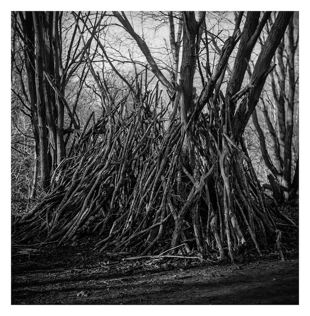
Over the past few years, when walking in wooded areas, I’ve noticed a number of structures appear. They appear to be rudimentary shelters made from branches, although they probably do little to keep the elements out. I’ve seen them in a number of different places, but have never seen anyone building them which lends them a slightly spooky Blair Witch Project air.
The branches used to build them, in my local area at least, seem to be from woodland management – lots of trees have been trimmed in the last year or so. In a lot of cases these cuttings are left piled up like lumber, perhaps to be collected at a later date, or maybe to form an environment suited to small mammals and invertebrates. Some of the cuttings go on to create these structures though.
I’m sure there’s a perfectly mundane reason for them, but I also kinda like the idea of a miniature Stonehenge / Easter Island type mystery about them.
Who might sleep inside A home made of drafty sticks Little pig maybe?