Part one of this walk ended as I passed through a small area of woodland that marked the turning point where the circular route began its return back towards the starting point. Perhaps the most well known landmark on this leg of the journey is Robin Hood’s Stride, but before I got there I took a small detour to Nine Stones Close (also known as The Grey Ladies), a small neolithic stone circle that stands beside a tree in a nearby field.

There’s something fascinating and a little eerie about stone circles, both in their age, and the limited understanding we have as to why they were constructed, but also – in large part – the fact that they feature heavily in a number of fantasy / sci-fi movies and TV shows I’m fond of, notably the 1979, John Mills starring, Quatermass series, The Children of the Stones, and the Doctor Who story, The Stones of Blood. All heady material for the youngster I was back when all three aired.

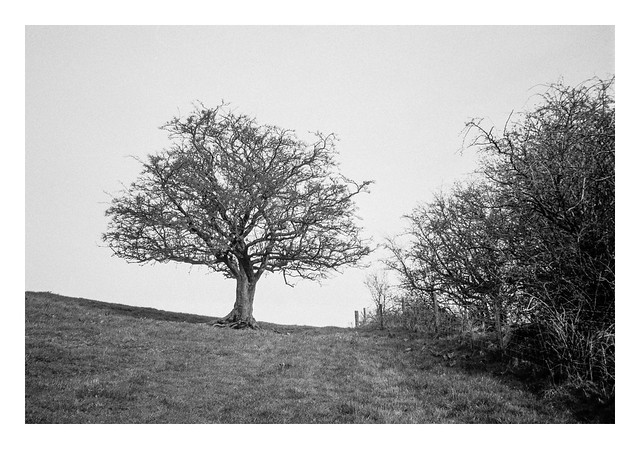
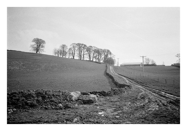
After admiring the stone circle (you can see some more photos I took here), I set off back towards Robin Hood’s Stride, first passing a couple of lone trees, one dead, one alive.


Robin Hood’s Stride is a gritstone rock formation, notable for the two pinnacles at the eastern and western end. The pinnacles are named “Weasel” and “Inaccessible” and legend has it that Robin Hood was able to jumped between them in, hence the name of the formation. All I can say, is that Robin Hood must’ve had some sort of Olympian-level jumping skills as the two pinnacles are around fifty feet apart!
Unfortunately, when I arrived the sun was to the south, backlighting the rocks to a degree, so I wasn’t able to photograph the whole structure in the best light. I took several other close-up shots of part of the formation though, including some carved graffiti that has been there quite some time.


I climbed to the top of the formation, although it was tricky with my backpack, tripod, and walking poles, but there were nice views. A couple were up there already, eating their lunch.

The view back towards The Grey Ladies was a nice one, though probably not done justice by the XA3 on this occasions. The stone circle can be just made out in the centre of the frame if you look closely.

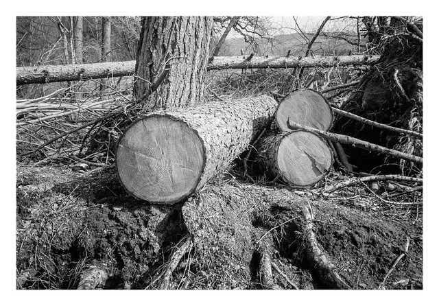
After a drink of water, and a careful descent, I took another short detour from my route, this time to another rock formation named Cratcliffe Tor. This is a popular spot for climbing and bouldering, and there were signs of this in evidence with dusty powder marks on the stones where people had sought places to get a grip.

Cratcliffe Tor is also the site of a hermitage dating to the 14th century. The small cave is now fenced off as it was being used as a shelter for climbers, but behind the fence it is just possible to make of a crucifix carved into the rock. You can just about see it on the second picture below about a third of the way from the top right of the image.


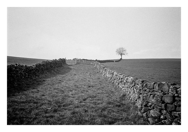
After visiting the hermitage, I made my way back to my route and began a descent down the hillside east of Robin Hood’s Stride, passing a bench bearing the name of someone called Hillary.


Looking back up the hill, the rock formation can still be seen above the trees. Another name for the location is Mock Beggar’s Mansion as, from a distance in the right light, it looks a little like a turreted house.

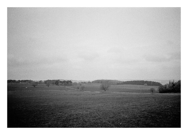
In the hilly Peak District countryside, the descent soon turned back to ascent, and I followed a steeper-than-it-looks lane past a couple of houses on the final stretch back to Elton.

A footpath branched away from the lane, taking me through a number of muddy fields. To my right the path was bordered by a fence and trees. A rope swing hung from one.

Another tree had seemingly absorbed a cable as it had grown, resulting in a shape in it’s trunk that reminded me of someone sucking spaghetti!

To the north, Robin Hood’s Stride and Cratcliffe Tor could still be seen peeping out of the ridge line.

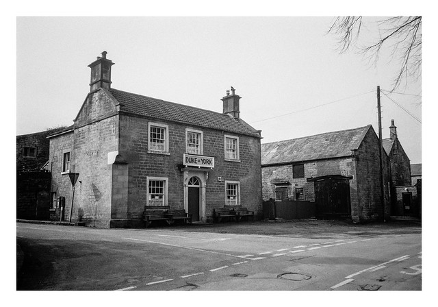
I reached the brow of the hill I was climbing and could now see the houses and Church of Elton come into view.

As I walked back through the village to where my car was parked, I passed a man cleaning his car with a jet spray. He turned it off as he saw my approach, but I cheekily asked if he wouldn’t mind spraying my feet with it to remove the thick clods of mud attached to my boots. He was amused by the request, but I soon had clean (wet) boots again. 🙂
Olympus XA3 & Ilford HP5+ (@800asa). Ilfotec DD-X 1+4 10mins @ 20°
Taken on 26 March 2024